Environmental Weed Management – We need your input!
Consultation has concluded
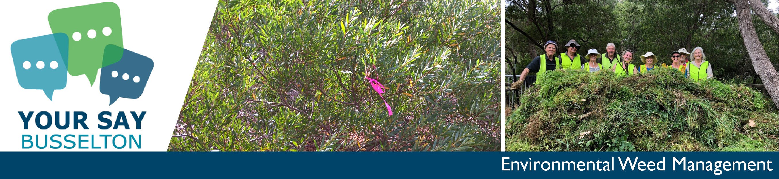
The City of Busselton has recently embarked on the process of developing an Environmental Weed Strategy for its key bushland reserves and priority roadside vegetation. The project is made possible by State NRM funding.
The strategy will help provide guidance and direction for the City and community in the management of environmental weeds. It will aim to ensure that the limited funding, time and resources available for environmental weed control are used in the most strategic, efficient and effective way possible by directing them towards the highest priority weeds and the protection of the highest priority ecological assets.
It is important to note two key aspects of the scope of the project:
1. It is focused on environmental weeds and the ecological impact they have and not agricultural or horticultural weeds.
2. It is focused on City reserves (although many aspects will flow through to private lands or other tenures).
Due to the restrictions that COVID-19 has placed on community gatherings we have had to rethink a number of the community workshops originally planned as part of the process. We still want to ensure that the community is involved in the process and that the knowledge that exists within the community regarding important weed populations and impact is captured and contribute to the strategy.
As a first step, we are asking the community to identify important weed populations that they are particularly concerned about - especially those that have the potential to have significant impact and that they feel may not be currently being controlled or previously reported.
Please use the mapping tool below to contribute your knowledge about the priority environmental weeds in your local reserve/s. For each pin or point on the map we ask that you also provide three points of information regarding the population or occurrence:
1. The Species number (based on the list provided - please download from the document library for your reference);
2. The nature of the infestation/population based on the categories provided below (A-D);
3. Any additional comments that may assist in identifying and or controlling the population.
Infestation Code:
A. Isolated plant or few plants
B. Cluster or multiple clusters of several plants
C. Widespread across an area upto 0.5ha
D. Widespread across an area greater than 0.5ha
Submissions close 5 June 2020

